
High performance, interactive mapping
Easily create maps using automatic geo-data lookup and then overlay them with different visualizations.
- Be more productive with on-the-fly location lookup capabilities.
- Improve understanding by exploring all geoanalytics information along with any relationships within one map visualization.
- Eliminate the overhead and expense of maintaining and managing access to a separate mapping database.

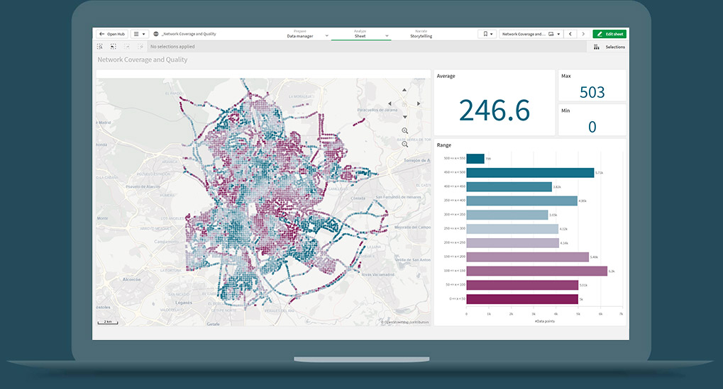
Gain geospatial insight
With the ability to quickly show cartographic information, users can gain insight into patterns not easily interpreted through tables or charts to better understand the whole story that lives within their data.
- Go beyond map visualizations to understand and analyze geospatial relationships.
- Efficiently access, visualize and analyze any existing geospatial related data and applications.
- Gain insight into patterns not easily interpreted through tables or charts.

Broad location analytics use cases
With a full spectrum of mapping and geospatial capabilities that share a common set of tools and technologies, Qlik can meet the needs of a wide variety of location-related use cases. Deliver mapping and location analytics to every user throughout the organization and beyond to one’s ecosystem.
-

Geospatial Analysis Datasheet
Learn more about Qlik Sense advanced mapping and location analytics capabilities. -

Store Site Selection and Performance Demo
Determining the best new store location using Geospatial analysis. This example shows the customer distribution for a chain of stores along with an analysis of customer behavior, drive time calculations and what if analysis of new stores. -

What is Geospatial Analysis?
This comprehensive overview of spatial analysis summarizes critical capabilities to look for in a data analytics platform along with key use cases, challenges, and more.